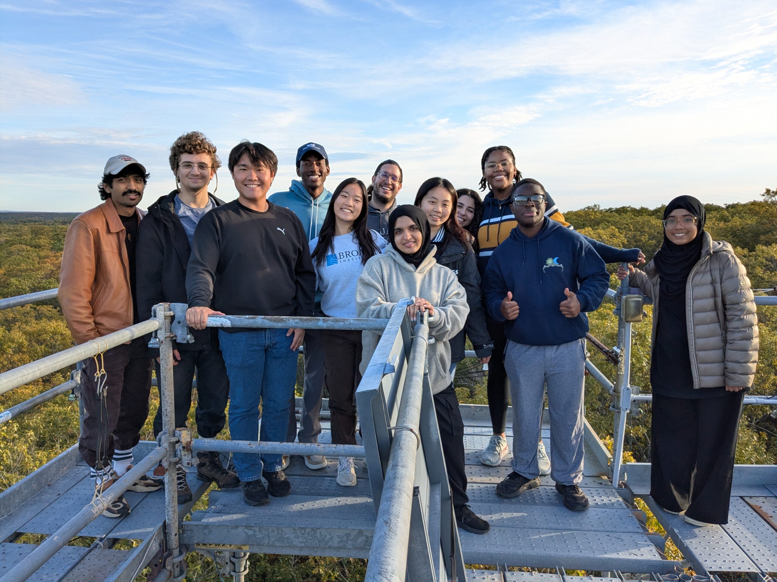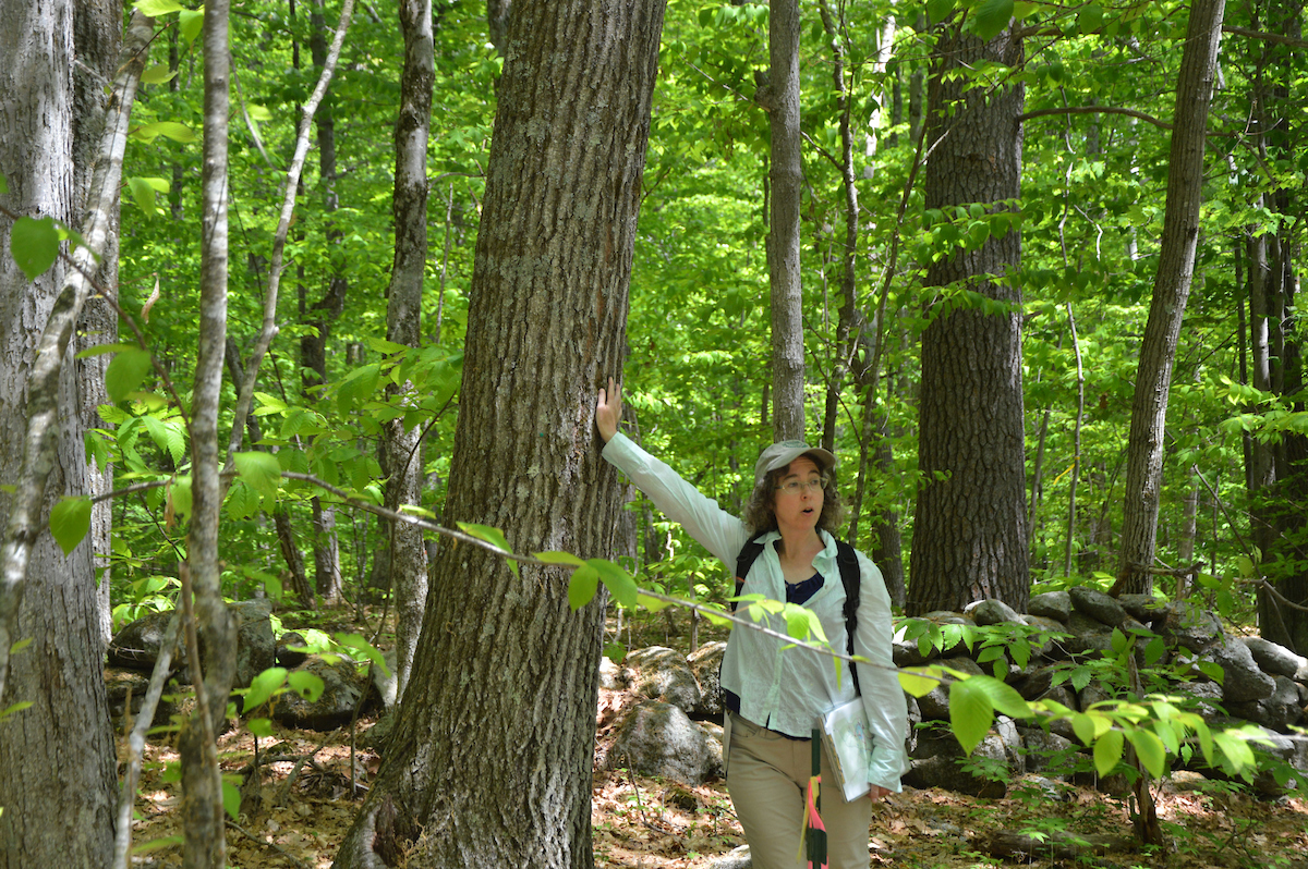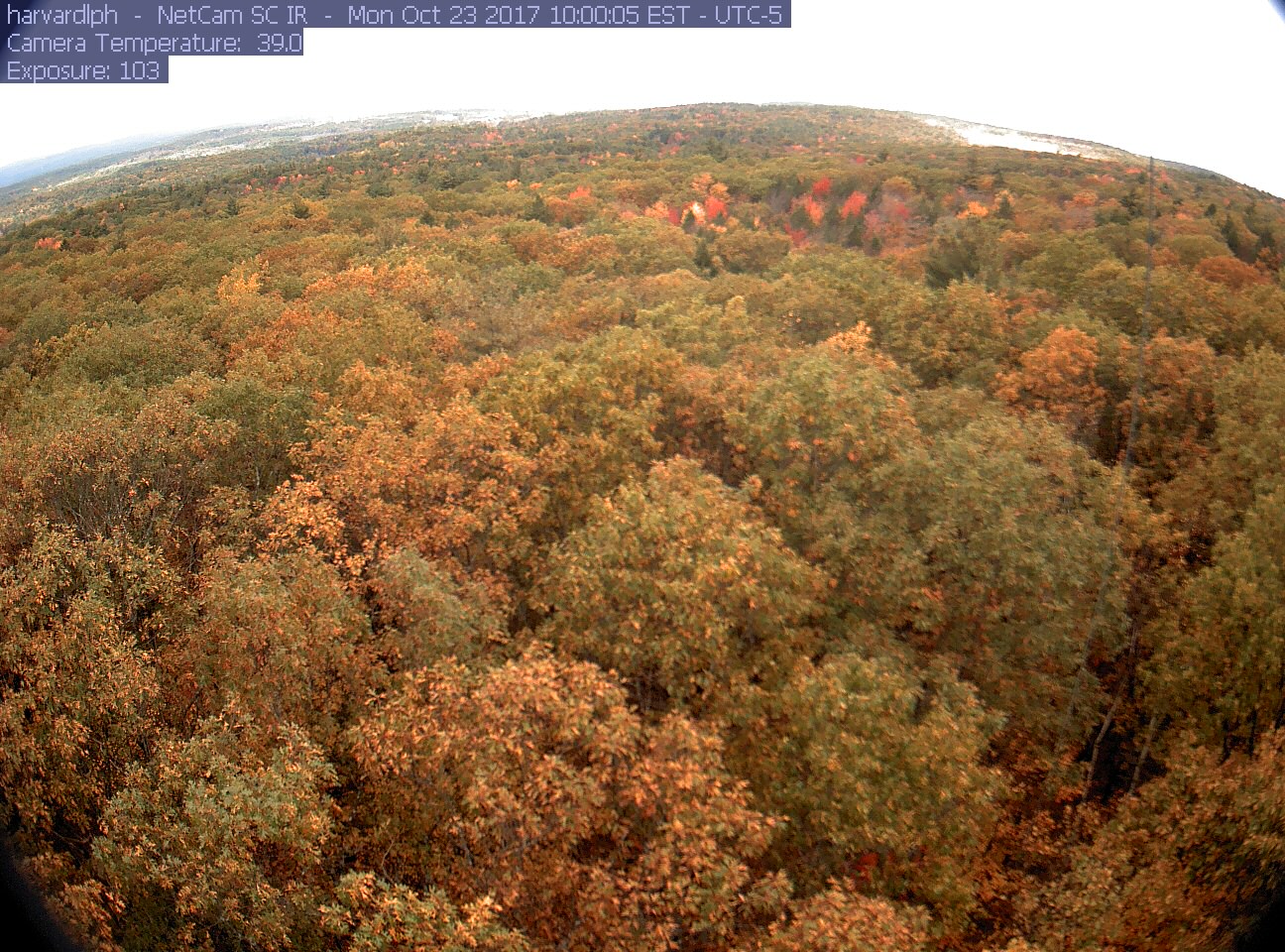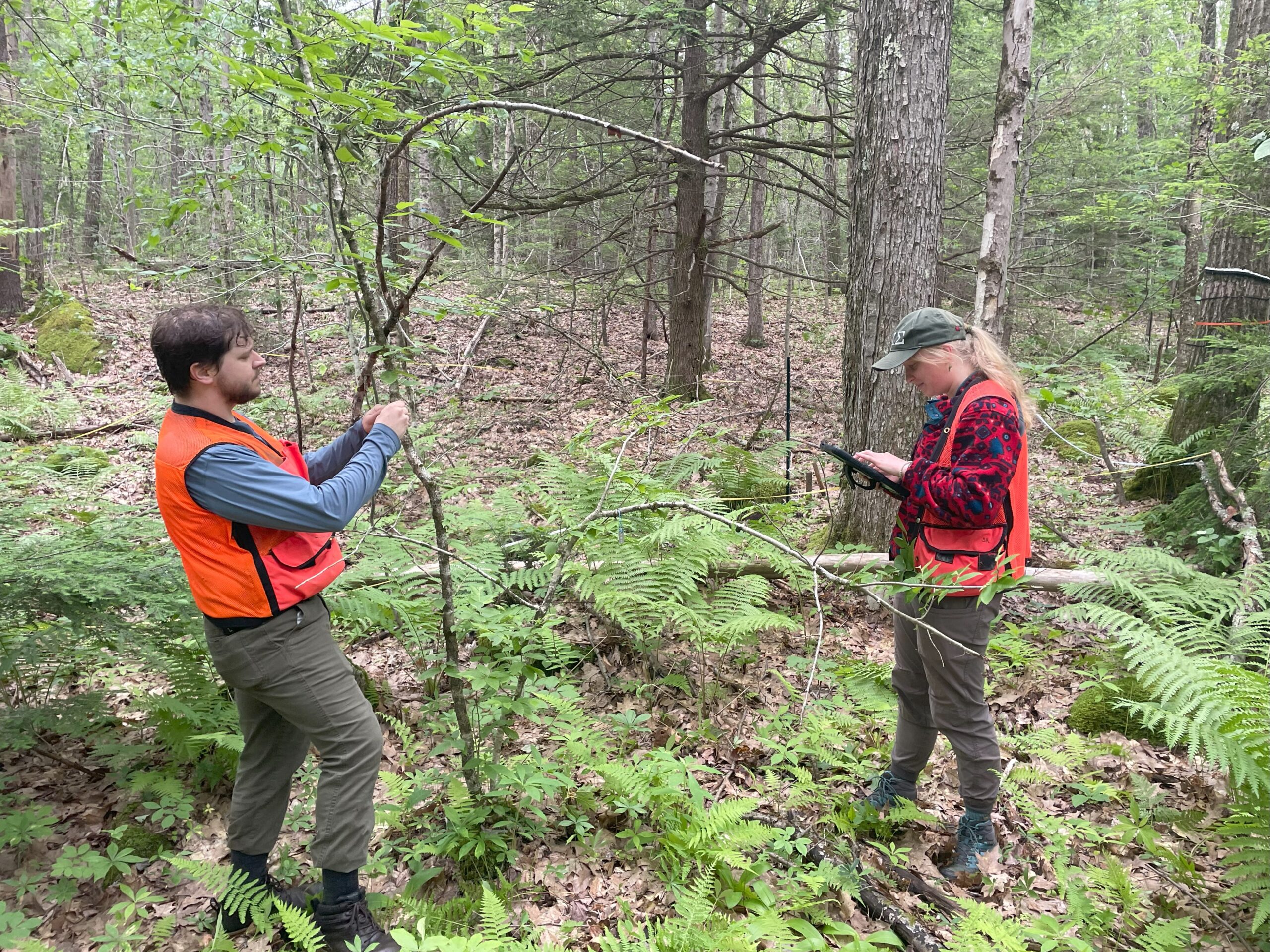
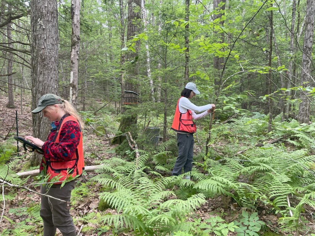
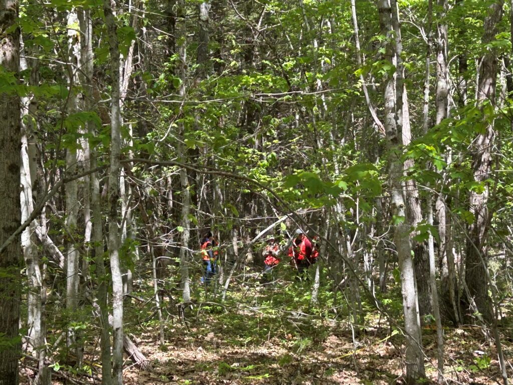
When researchers analyze satellite data to study land cover, how are changes in the forest reflected? Trudging through swarms of black flies, swamps that try to pull off your boots, and all types of weather, Dave Orwig and his research team have been validating remote-sensing data with on-the-ground “stem information” at Harvard Forest since 2010. Orwig, a Senior Ecologist at Harvard Forest and instructor at Harvard University, leads a boots-on-the-ground efforts to validate satellite imagery with direct tree measurements across Harvard Forest’s 85-acre Forest Global Earth Observatory, or ForestGEO “megaplot.”
A Census of Trees
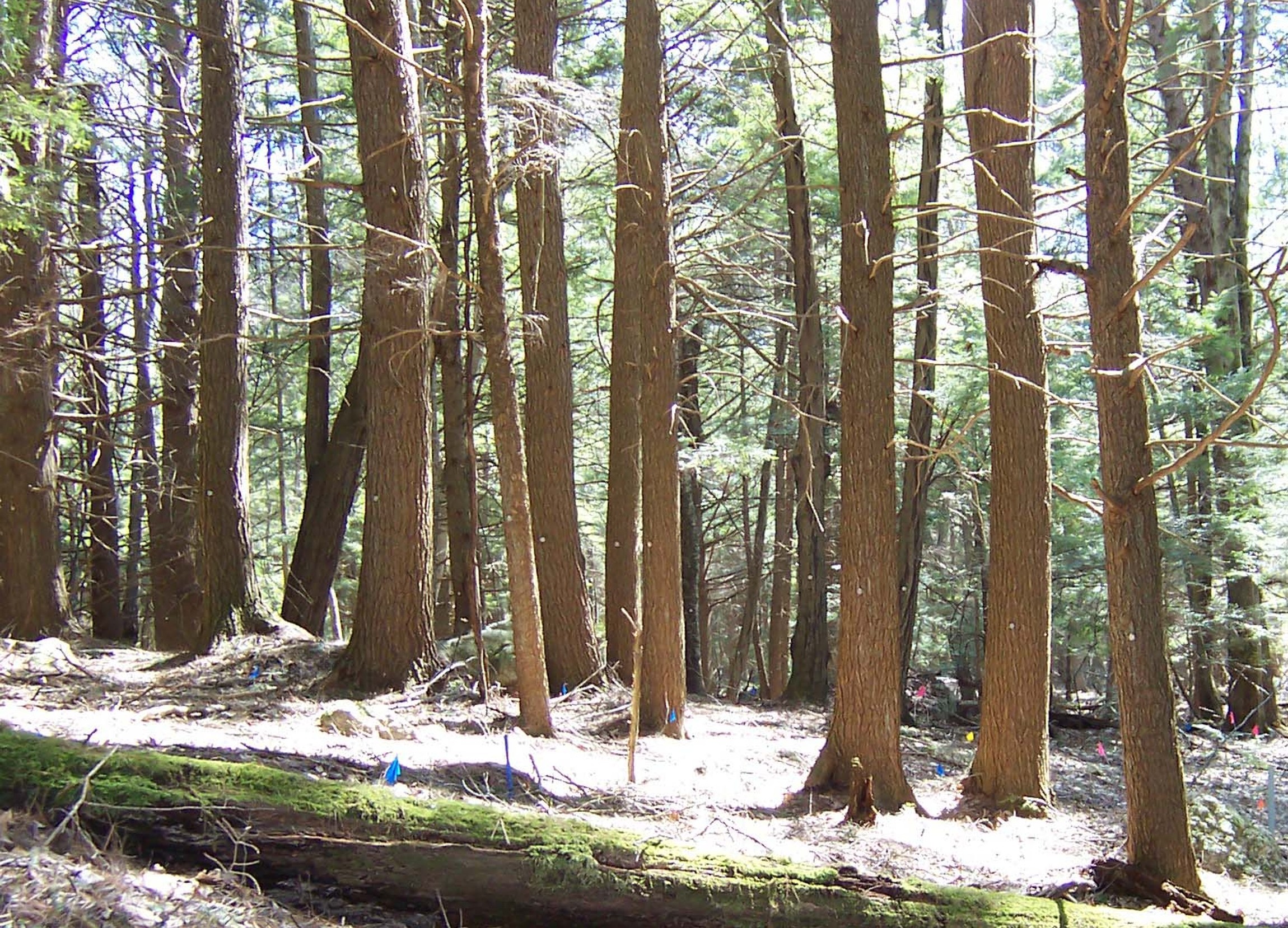
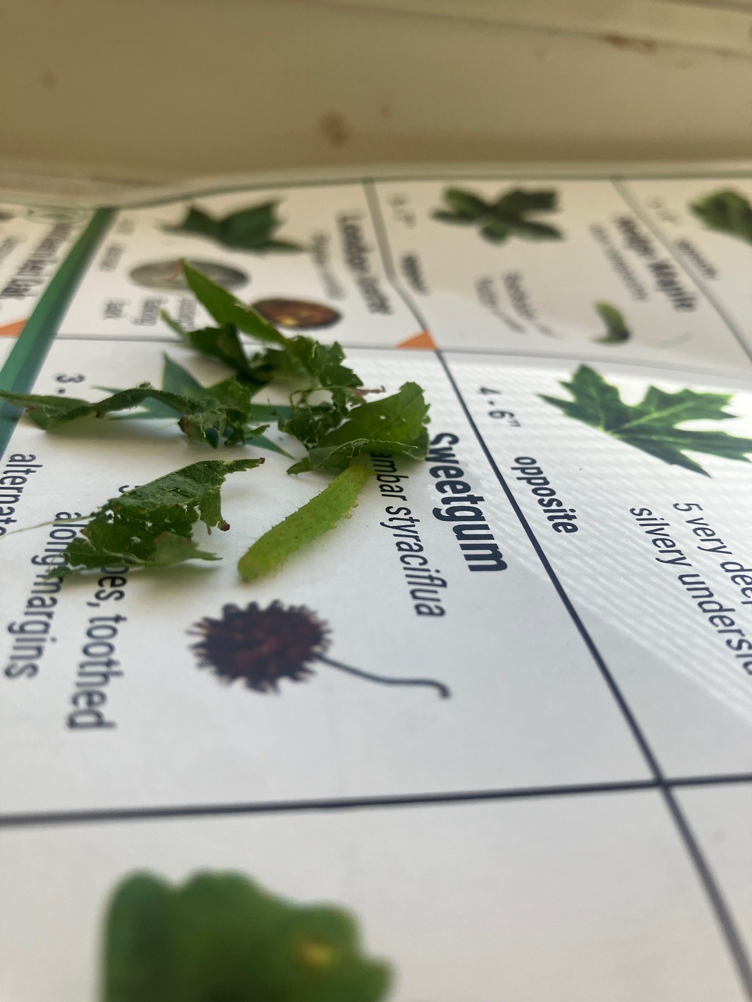
This summer, Orwig’s team continues the third full census of the site, the largest study of its kind in North America. Every woody stem over 1 cm in diameter—about 120,000 in total—is tagged, measured, and mapped. With a crew of eight, the team will tackle about 40,000 stems this season alone.
Tracking Forest Change, One Stem at a Time
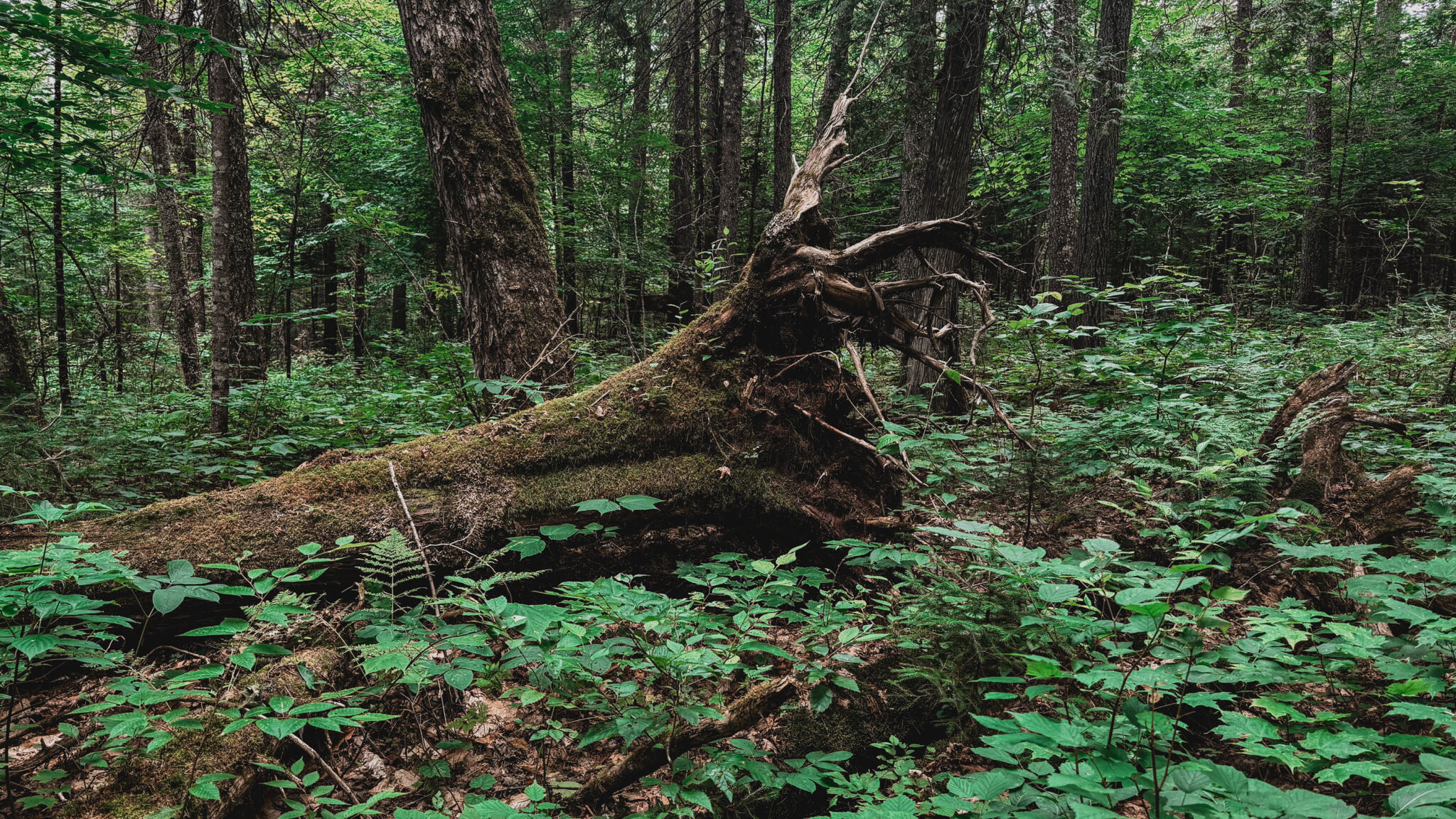
Though many trees are growing older and storing more carbon, Orwig notes growing challenges like invasive pests, including the Hemlock woolly adelgid, emerald ash borer, and the recent arrival of beech leaf disease. “Will forests still be able to store carbon effectively in the face of these threats?” he asks.
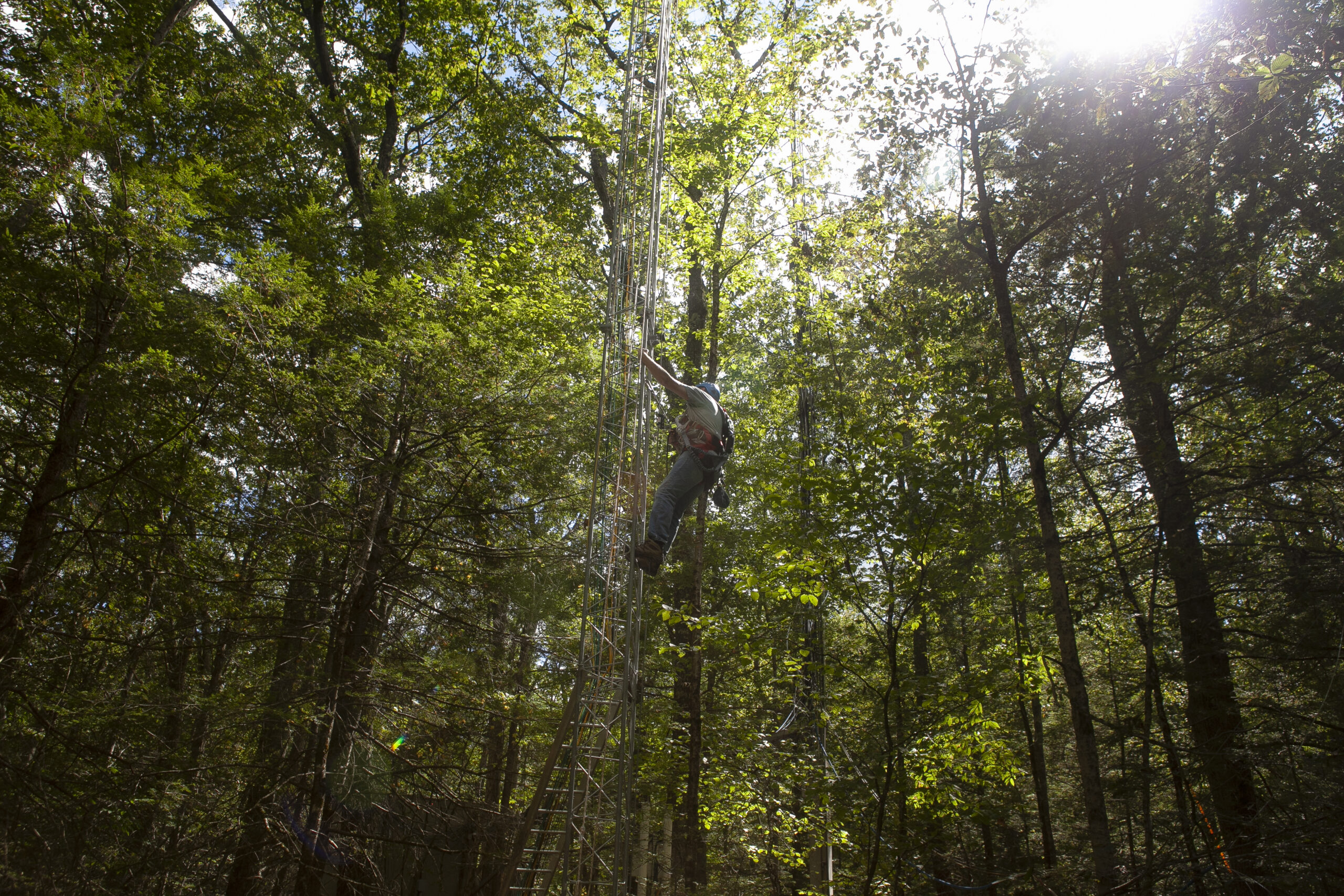
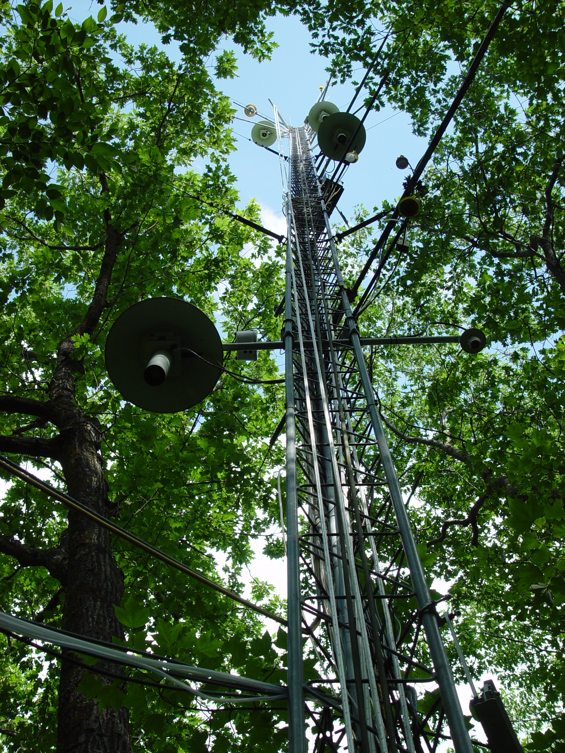
Paired with satellite data and other long-term studies, the ForestGEO census helps researchers track forest health, diversity, and climate resilience. The plot also hosts a NEON tower, giving scientists access to continuous atmospheric and ecological data.
Regional Data that Shapes Global Insight
Dan Johnson, a current Bullard Fellow from the University of Florida, uses these data to link tree health and mortality to remote sensing. His recent paper with Isabella Stone, a former intern in Harvard Forest’s Summer Research Program in Ecology, illustrates how this living dataset supports a global community of researchers—from undergraduates to international experts.
Harvard Forest’s ForestGEO data, which has been used in NASA’s spaceborn lidar mission (GEDI), is publicly available and widely used for ecological forecasting, forest modeling, and global synthesis studies. It has been featured in over 40 national and international publications, including a recent paper in Nature.
Receiving less than half of its annual funding from Harvard University, the Harvard Forest relies heavily on federal grants and philanthropic gifts to conduct its research and educational activities. Interested in supporting the continuation of this research? Consider donating to the Harvard Forest.