
You are here
Remote Sensing Quick Downloads
The following is a subset of the remote sensing data that is available for the Harvard Forest region. You can click on any of the following links to download the indicated data to their hard drive. A direct link to the original sources of the data is provided here and on the Sources of Remote Sensing Data web page
Important Note: These files are in GeoTIFF format and will not display in your browser. Please use the selection in your browser that allows you to download the file to disk. From there, you will be able to use your favorite GIS or display software to access the data that you are downloading.
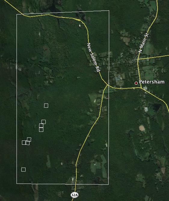
Regional (10 km x 16 km)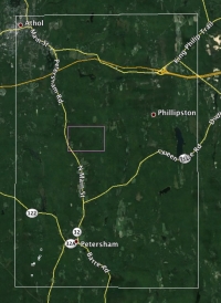
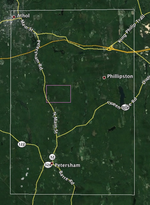
Lat/Lon corners (wgs84): LL(-72.23000, 42.46000) UR(-72.101878, 42.600886)
1990's black and white orthophoto (5m; 10MB)
Additional Data Sets:
UAVSAR L-band radar ascending (5m; 186MB), UAVSAR L-band radar descending (5m; 110MB)
AirMOSS P-band radar ascending (5m; 49MB), AirMOSS P-band radar descending (5m; 50MB)
Prospect Hill (2 km x 1.5 km)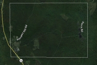
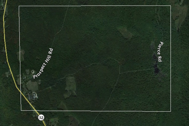
Lat/Lon corners (wgs84): LL(-72.192001, 42.529999) UR(-72.167069, 42.542871)
1990's black and white orthophoto (1m; 4MB)
Additional Data Sets:
G-LiHT canopy height (1m; 35MB), G-LiHT below-canopy elevations (1m; 58MB)
Simes Tract (2 km x 4 km)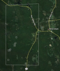
Lat/Lon corners (wgs84): LL(-72.22000, 42.46300) UR(-72.194096, 42.498369)
1990's black and white orthophoto (1m; 12MB)
Additional Data Sets:
G-LiHT canopy height (1m; 8MB), G-LiHT below-canopy elevations (1m; 12 MB)
