
You are here
Katrina and the Hurricane: Telling a story with dead wood
 Harvard Forest is a place with history. Our home for the summer was originally built in the 1700's, on our second day, we visited a 400-year-old black gum tree, and the bowls in our kitchen probably date from the end of the Stone Age. Harvard has owned this patch of forest in Petersham, Massachusetts since 1907, and the amount of research and data that has accumulated since then is immense. I first began to understand the importance of this impressive history on two field days last week to Pisgah State Park in Winchester, New Hampshire.
An average day here at the Forest for me most often involves trips to the hurricane disturbance plot about 3 miles down the road with my partner in crime, Olu. She will tell you all about that fascinating experiment in a few weeks. Throughout this summer we are taking occasional days away from our home turf to collect data in a special patch of old-growth forest in the center of Pisgah State Park that is owned by Harvard.
On September 21, 1938, a hurricane swept up from Long Island, leaving approximately 2 billion downed trees in New York and New England. At Pisgah State Park, nearly every dominant canopy tree was uprooted or snapped. Most of those trees were salvaged lumbered and stored in ponds, but the terrain of that tiny patch of Harvard land within Pisgah State Park was too treacherous to log. This fact made the Pisgah tract simultaneously a unique resource and exhausting to study.
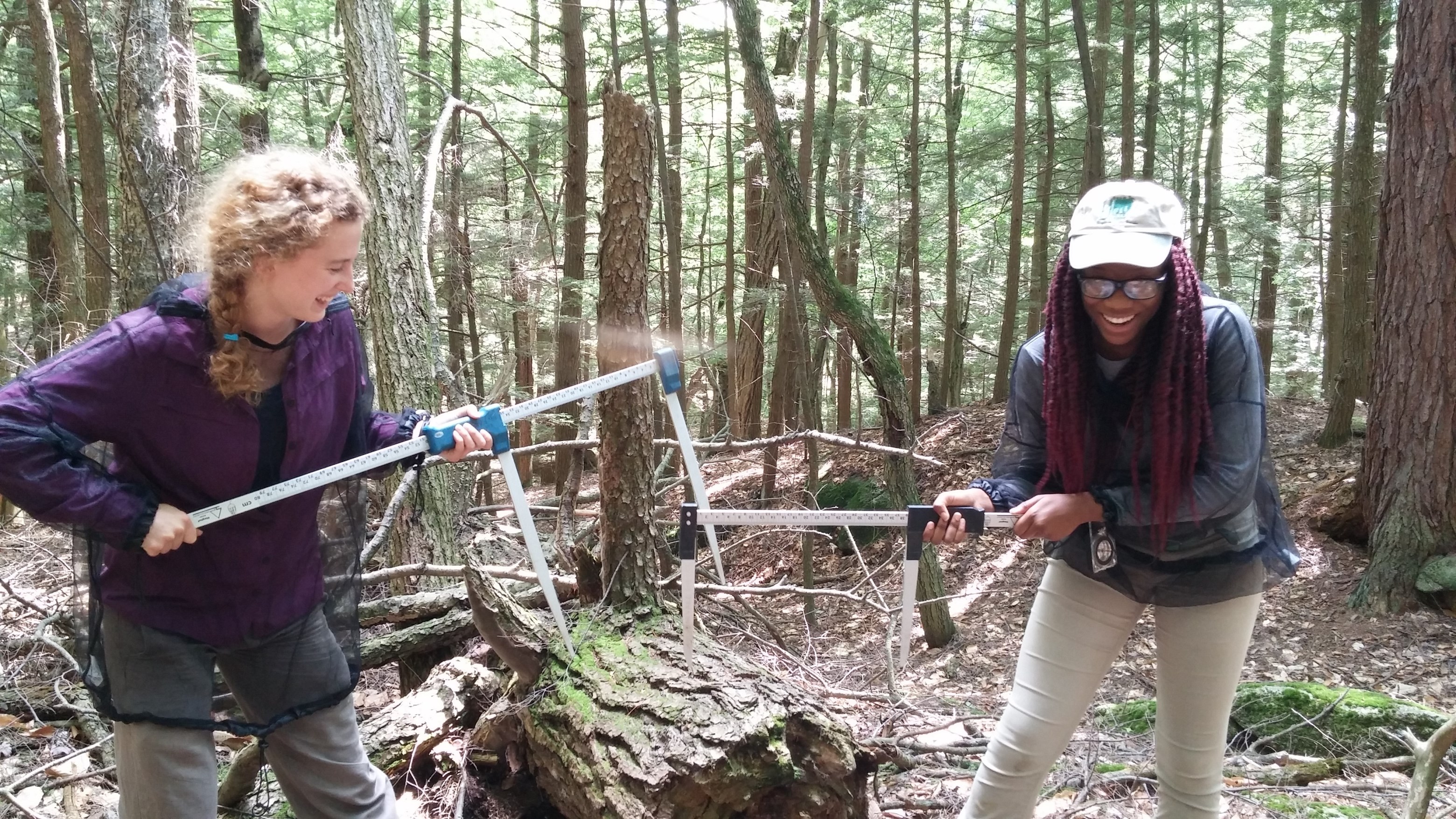
Olu and I got an introduction into the study of dead wood before beginning the data collection. We learned to identify if a log came from a hardwood or conifer tree and how to assess the decay of a log. Our task at Pisgah is to repeat the sampling that was done by a young David Foster 34 years ago. He measured all the dead logs and surveyed the herbaceous plant cover in fourteen 20x20 meter plots. With this data, we can quantify how long dead wood persists in the forest after a catastrophic hurricane and how this may affect the other plant life.
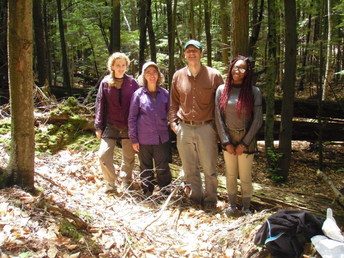
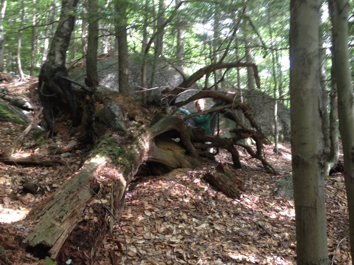
A group of 7 set out last Thursday to study this incredible dead wood at Pisgah. After a 45-minute drive and a 45 minute hike, we arrived at a metal barrel half-buried on the side of the trail. This is the sign to turn east and bushwhack to the Harvard land. The directions to this isolated patch are not public knowledge, apparently to keep hikers from trampling the downed trees. The first thing you notice as you reach the edge of Harvard land is the roots. These trees were toppled almost 77 years ago, but their skeletal root masses remain, sticking up from the forest floor. The living forest at Pisgah is nothing to write home about, but in few other places will you find such magnificent death.

The forest at Pisgah has been studied since the first Director of Harvard Forest, Richard Fisher, started bringing his students there around 1910. The observation of this old-growth forest continued after the hurricane, giving us a unique opportunity to understand how hurricanes affect our forests. This information will become increasingly important as climate change ramps up and hurricanes become more frequent. In these few short weeks at Harvard Forest, I'm beginning to understand how important this historical data is. By studying and understanding what happened in the past, we may be able to provide valuable insight into our future.
