
You are here
On-line ArcGIS Server
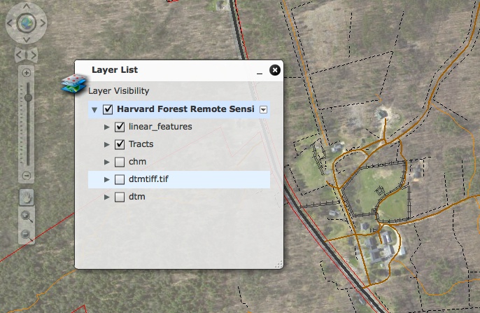
This is the gateway to the on-line ArcGIS server: a web-based program that displays a variety of remote sensing and landscape feature data sets. You can interact with the display by changing the scale and types of data shown. The intent of this server is to provide a basic functionality for displaying Harvard Forest remote sensing data.
To access the ArcGIS server program, click here.
To download the data shown, go to the Quick Downloads page
To customize the data using a Web Coverage Service and to download a simple IDL program for retrieving co-registered data sets from this server, go to the Customized Data Sets web page.
