
You are here
Signs of Summer: Land Conservation in the Pioneer Valley
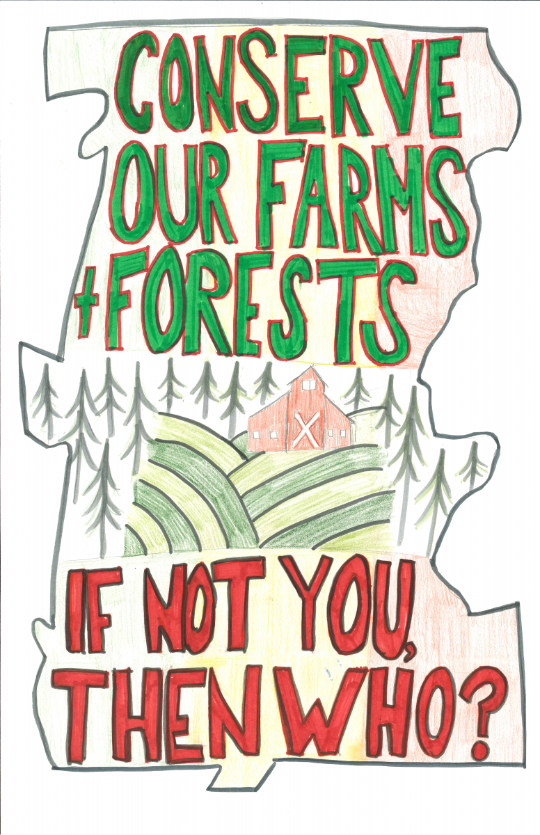
Our sign is designed to give residents a better sense for their responsibility to the land as a community by teaching them the outline of the Pioneer Valley. This sign literally encourages residents to see the big picture.

When you look at a map of a Western Massachusetts town, the effects of sprawl are obvious. On the ground, though, notions like sprawl can seem like abstractions. Our sign, placed on a prominent tree at the edge of the woods, would confront viewers with a challenge to think more about the ways their local land usage choices relate to the greater goal of land conservation.
This summer, we are researching land use and conservation policies in Massachusetts and how those policies map on to changes in forest cover and square with local land use goals. We work with both with map-based data and with data embedded in local land use policies in Massachusetts, with the ultimate goal of seeing how local changes and attitudes interface with the Wildlands and Woodlands vision of conservation in New England. Many people talk about land conservation in New England; we are analyzing how the ideal maps on to the real.
As part of our Environmental Sign Making workshop, artist and educator David Buckley Borden showed us how to combine images in the culture with scientific information to convey facts and attitudes about our research to a wide audience.
