You are here
Digitized Maps Build the Forest's Public Archive
Submitted by Clarisse Hart on Mon, 2019-03-25 17:31
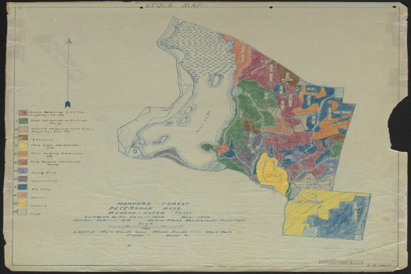
The rich trove of digital resources in the Harvard Forest Archive recently expanded via a partnership with Massachusetts Digital Commonwealth, which digitized 600+ local property maps, forest inventories, detailed maps of damage from the 1938 Hurricane, even winter range maps of local snowshoe hares! All the maps are free for download and use under a Creative Commons license.